BLANDFIRE
An attempt at simulating the spread of forest fires using GIS data for elevation, wind, and fuel.
This project is maintained by maxcdietrich
Results
Reflections
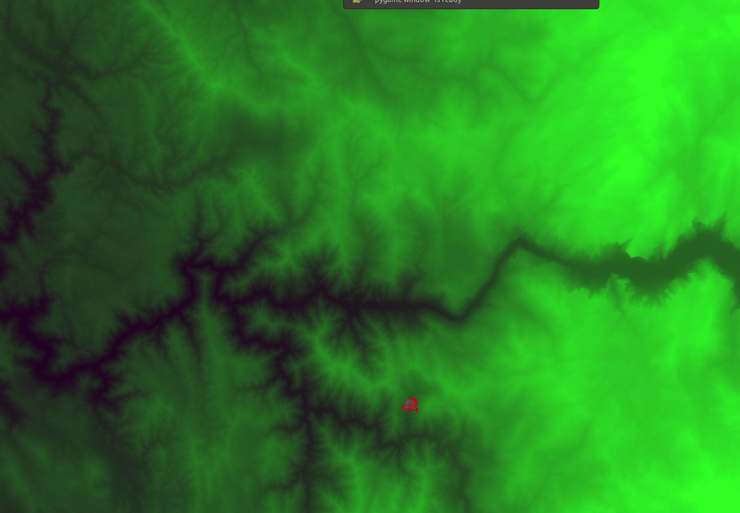
We know that our model doesn’t work perfectly at this point… It burns everything down! However, we can see some signs that we’re going in the right direction. As the fire approaches lower elevation (black regions), it slows down and then speeds up once the low ground has been burned. If we had more time to tweak the parameters in our model we might be able to achieve some even cooler results!